

Methods
We use methods from deep learning and data fusion with large data sets from remote sensing and opportunistic sensors. We also conduct experiments in the laboratory and in the field.
Deep learning
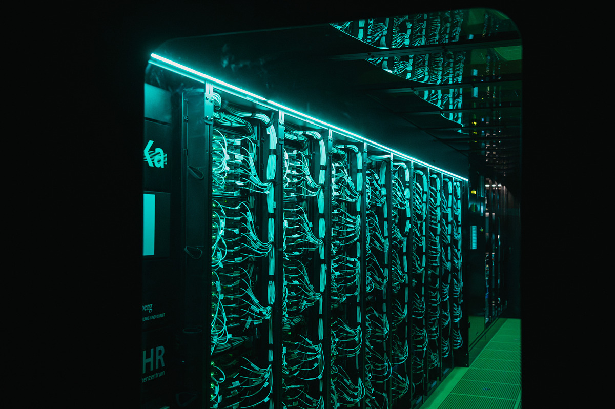
We use state-of-the-art methods from Deep Learning. Our current focus is on the development of generative AI methods to improve precipitation information. Here is a selection of results:
- SpateGAN-ERA5: Global downscaling of precipitation fields using generative AI (Glawion et al., 2025)
- ResRadNet: Improvement of the 5-minute radar precipitation product of the DWD with a residual 3D-CNN (Polz et al., 2024)
- AFNOCast: Improvement of seasonal precipitation forecasts in the Blue Nile catchment (Wiegels et al., 2026)
Data fusion
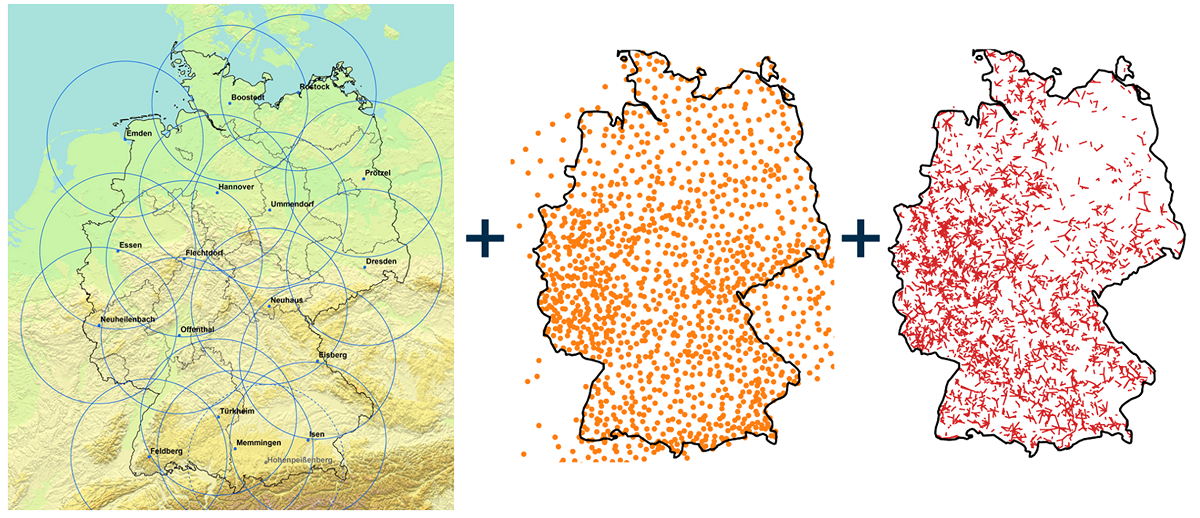
Every sensor has strengths and weaknesses. We therefore develop methods that combine the respective advantages by means of data fusion. Here is a selection of results and current work:
- Improved precipitation measurement with radio relay links by combining with data from geostationary satellites (Graf et al., 2025)
- Germany-wide radar calibration with directional radio data in real time (Graf et al., 2024)
- Combining data from geostationary satellites and ground measurements from stations and radio relay data using generative AI (current work in the MERGOSAT project)
Remote sensing

Remote sensing methods are used to take measurements over a wide area or from a great distance. We use data from meteorological satellites, weather radars and radio relay links (see details under opportunistic sensors). Here is a selection of results and current work:
- Improved real-time precipitation estimation from data from geostationary satellites (current work in the MERGOSAT project)
- Europe-wide improved processing of weather radar data (current work in the project EuRadCA)

